
Drone & LiDAR
UAV mission planning & aerial survey
Enabling organisations to make AI-powered decisions about the assets and territory they operate, by combining survey-grade GIS and remote sensing with machine learning, deep learning and agents that run the analysis themselves.
Tools We Work In
What we do
Most organisations hold more spatial data than they can use. Nine disciplines under one roof, so capture, analysis and the platform on top are built by the same team.
Measured data from the air, the ground and orbit
UAV mission planning & aerial survey
Mobile GIS field survey applications
Land use / land cover mapping
Models, analysis and machine learning that turn data into answers
GIS data modelling & database design
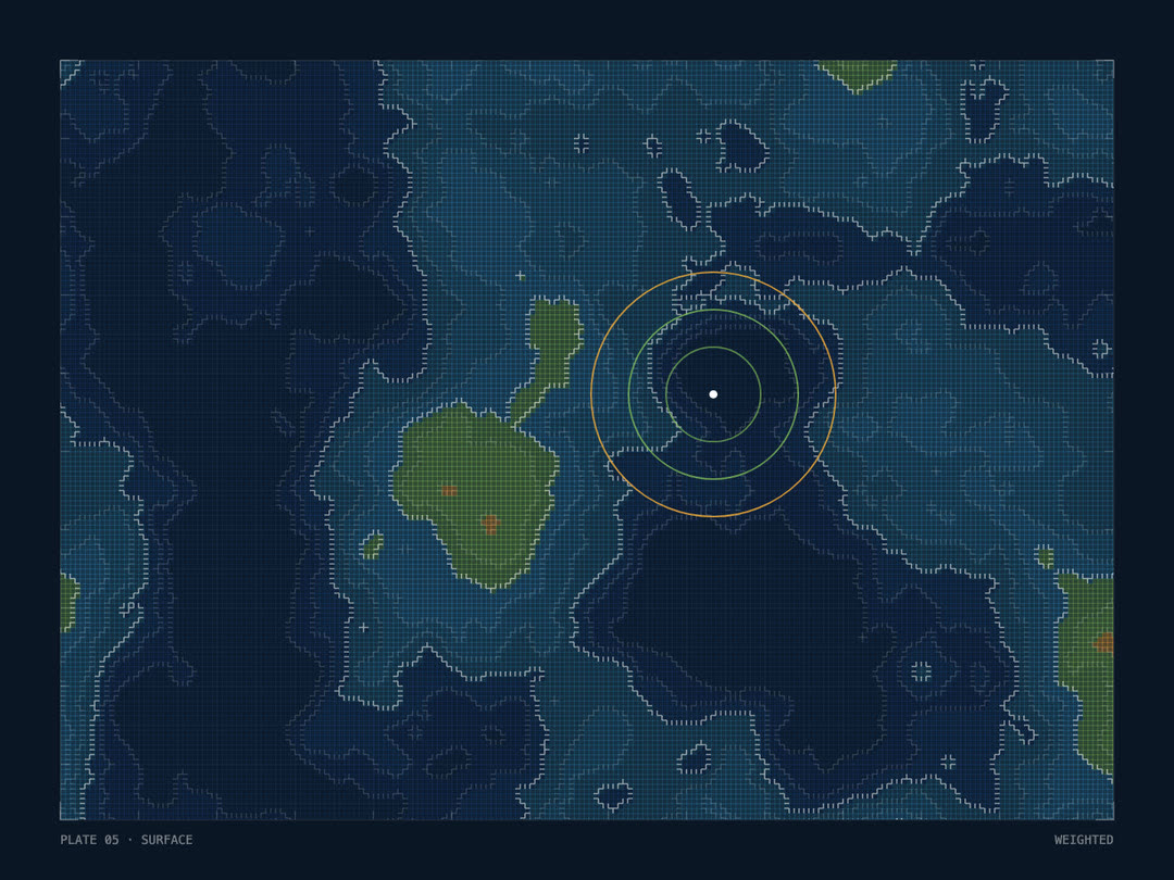
Catchment area & site suitability analysis
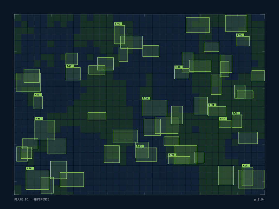
Object detection & semantic segmentation
The systems your people open every day
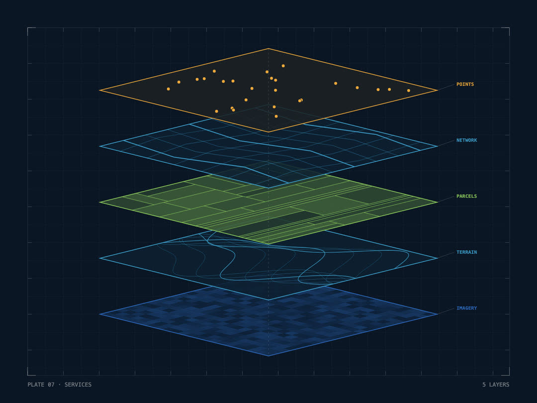
ArcGIS Enterprise & ArcGIS Online
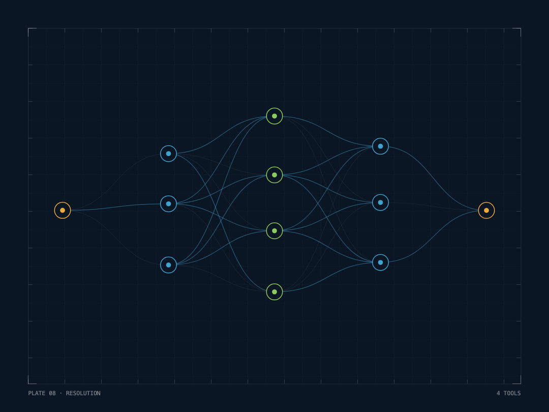
Conversational spatial analysis over your own data
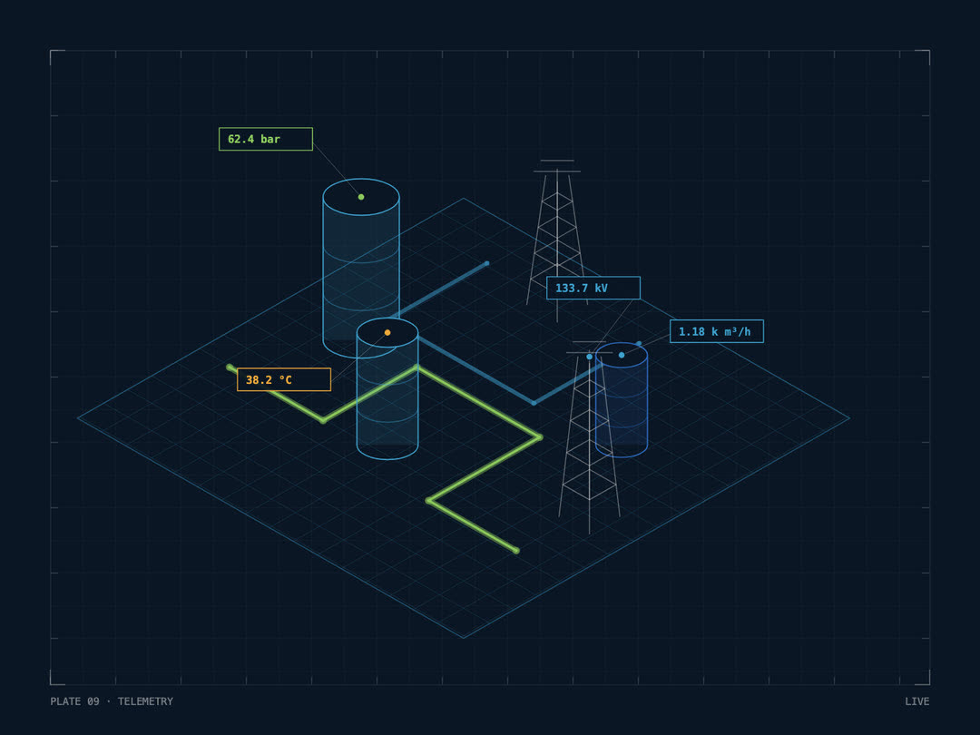
Photogrammetry & LiDAR capture
How we deliver
We start from the decision you need to make, then audit the data you hold.
You Get
A working slice on your own data, so you see results before the full build.
You Get
The full system, from capture through analysis to platform, built on what the pilot proved.
You Get
Your team learns to run it. Nothing is left as a black box only we can open.
You Get
We stay on for tuning, updates and the next question your data raises.
You Get
Dedicated teams
Add trained specialists to your own team, for as long as you need them: remote sensing analysts, data annotation teams, developers working inside your platform. Our leads review the work and you keep running the programme.
Habitat mapping, land cover, change detection
Production mapping, analysis, map series
Annotation for object detection, segmentation, ground truth
ArcGIS JS API, Python tooling, automation
PostGIS, Utility Network, pipelines, services
Point cloud classification, orthomosaics, surface models
Model training, inference at scale, deployment
Model building, tiling, live data
The skills, the number, the start date.
From our bench, or hired to your spec.
On your backlog, so you judge output, not CVs.
Your tools, your process, our leads reviewing.
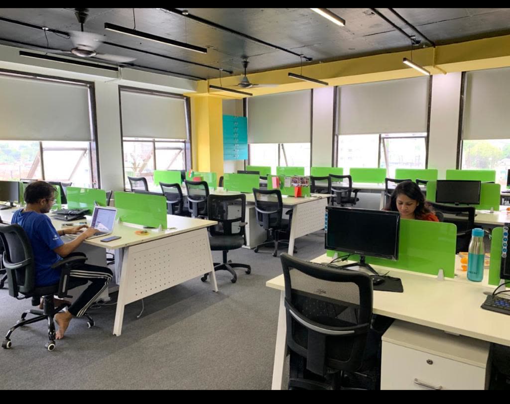
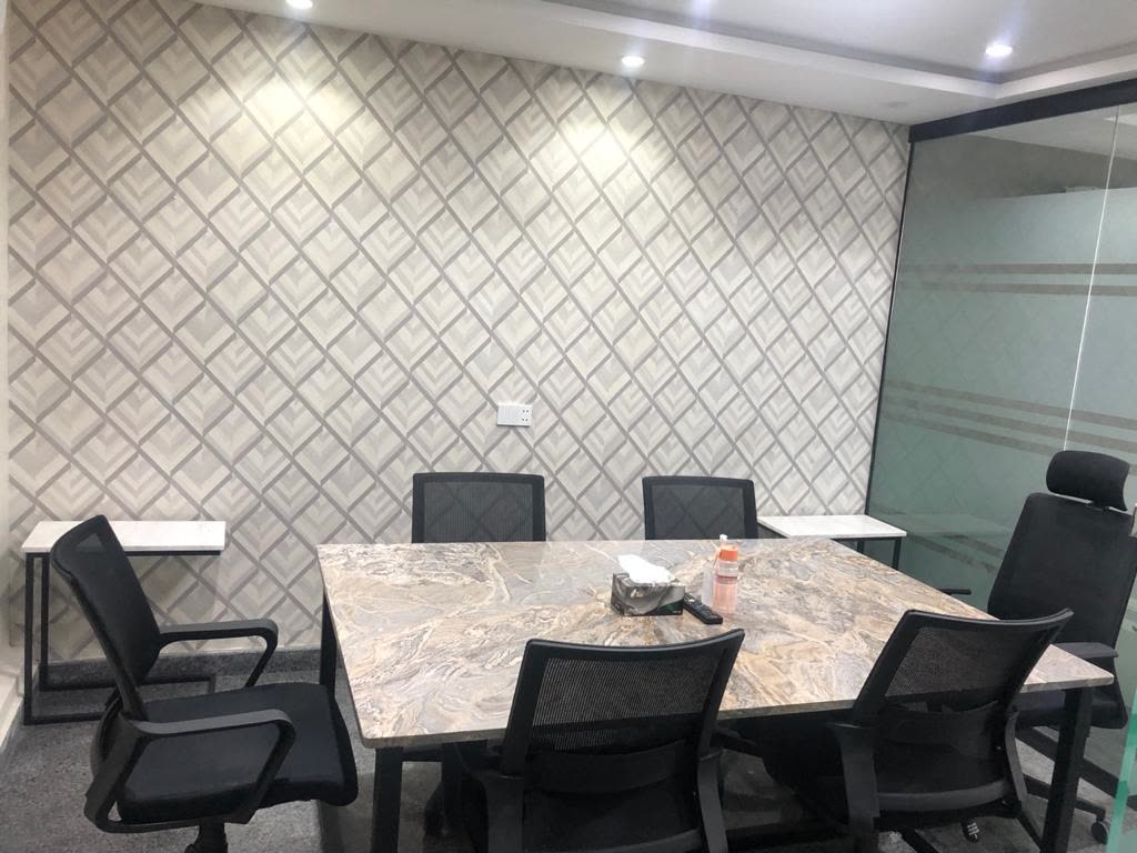
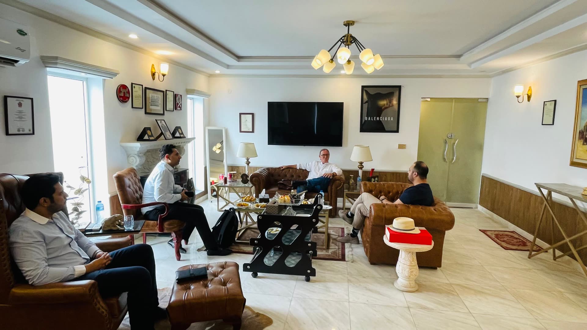
Our own workspace in Lahore: offices, a committee room and co-working halls.
What we've built
Captures and clips from the working systems themselves. Filter by field, and open any project to see it full size.
From Our Projects
Operator Walkthrough
3D & Digital Twin
Who we serve
Each sector has its own data, standards and way of deciding. We start from that, not from the software.
Facility digital twins, pipeline asset GIS and AI-driven safety monitoring for upstream operations.
Delivered in This Sector


